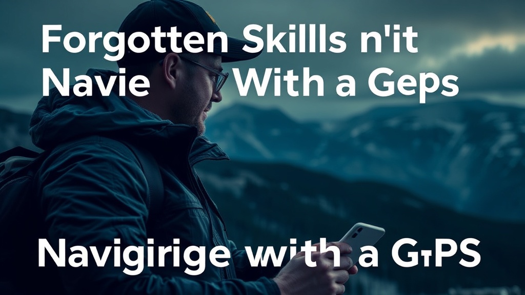
Forgotten Skills for Navigating Without a GPS

Reading the Sun's Path
Using Natural Landmarks
The Shadow Stick Method
Observing Moss and Tree Growth
Star Navigation Basics
Over 60% of GPS device failures in the backcountry are caused by something as simple as a dead battery or a lack of satellite signal under heavy canopy. While modern tech is great, relying solely on a screen makes you vulnerable to the moment that screen goes black. This post breaks down the fundamental skills you need to find your way when the electronics fail, focusing on celestial navigation, terrain association, and natural indicators.
How Do You Find North Without a Compass?
You can find north by observing the position of the North Star (Polaris) or by using the shadow-tip method with a stick. If you're in the Northern Hemisphere, finding Polaris is your best bet for a reliable heading. Locate the Big Dipper—the constellation that looks like a large ladle—and follow the two stars at the end of the "cup" (Dubhe and Merak) straight up to a single bright star. That star is Polaris, and it always marks true north.
If the stars aren't visible, the shadow-tip method is a reliable, low-tech alternative. It takes a bit of patience, but it works. You plant a stick in the ground, mark the tip of the shadow, wait fifteen minutes, and mark the new shadow tip. The line between those two marks runs east-west. (It's much more accurate if you do this over a longer period, but it gets you a general direction in a pinch.)
For those who prefer a more mathematical approach, the sun's movement is predictable. The sun rises in the east and sets in the west, but it doesn't move in a perfectly straight line across the sky. If you're tracking the sun's position, remember that at midday, the sun is at its highest point and sits due south in the Northern Hemisphere.
The principles of celestial navigation have kept sailors safe for centuries, and they work just as well for hikers in the woods. It's all about pattern recognition.
What Are the Best Natural Navigation Indicators?
Natural indicators include observing moss growth, wind patterns, and the tilt of trees to determine direction. While the "moss grows on the north side" rule is often a myth—moss grows wherever it's damp and shaded—it can still offer clues in specific environments. In many North American forests, the north side of a tree or a rock tends to be more shaded and holds more moisture, which might encourage lichen or moss growth.
Wind patterns are another big one. If you know the prevailing wind direction in a specific region, you can use the way trees lean or how snow has drifted against a ridge to orient yourself. In the Pacific Northwest, for example, trees often show a slight lean or "flagging" away from the dominant wind direction. It’s a subtle detail, but once you see it, it becomes obvious.
Common Natural Indicators & Reliability
| Indicator | Reliability | Best Use Case |
|---|---|---|
| Polaris (North Star) | High | Nighttime navigation |
| Shadow-Tip Method | Medium | Daytime, clear skies |
| Moss/Lichen Growth | Low | Local micro-climates |
| Prevailing Wind/Tree Lean | Medium | Long-term orientation |
Don't forget to look at the terrain itself. A river is a great guide, but it can also be a trap. Rivers usually flow toward lower elevations and eventually lead to larger bodies of water or human settlements. However, following a river can sometimes lead you into dead-end canyons or thick brush. Use it as a guide, not a rule.
How Can You Use Terrain Association to Stay on Track?
Terrain association involves matching the physical features around you—like ridges, valleys, and peaks—to the features drawn on a physical map. This is the most effective way to keep your bearings when you can't see the stars or the sun. Instead of looking at a single point, you look at the "shape" of the land.
Start by identifying a prominent feature. Maybe it's a jagged peak or a specific bend in a river. Once you identify that "landmark," look for the next one. If you're walking toward a ridge, don't just walk blindly; watch how the ridge approaches you. Is it getting wider? Is it curving left or right? This constant checking keeps you from drifting off-course.
The key is to look ahead, not just at your feet. If you're constantly staring at the ground, you'll miss the big picture. I always recommend scanning the horizon every few minutes to re-orient yourself. It's a habit that saves lives. If you've been reading the sky for weather changes, you're already practicing a form of situational awareness that applies directly to terrain association.
Think of the landscape as a 3D version of your map. If your map shows a valley between two hills, and you're standing in a valley, you're on the right track. If you find yourself climbing a steep hill when your map says you should be on flat ground, stop immediately. You've likely drifted.
Essential Non-Electronic Tools
If you're going to ditch the GPS, you need a kit that doesn't rely on a lithium-ion battery. These items are lightweight and virtually indestructible.
- A High-Quality Compass: I prefer the Suunto MC-2 for its durability and clear sighting. It's not just a piece of plastic; it's a precision instrument.
- Topographic Paper Maps: Even if you use a phone, carry a physical map of the area. A waterproof version from a brand like National Geographic or even a laminated USGS map is a must.
- A Watch: A simple analog watch can be used to find south. By pointing the hour hand at the sun and finding the midpoint between the hour hand and the 12 o'clock mark, you can determine a south-pointing line (in the Northern Hemisphere).
The beauty of these tools is their simplicity. There are no firmware updates to download and no satellites to lose. They just work.
When you're out in the wild, the most important skill isn't how well you can use a gadget. It's how well you can observe. The more you pay attention to the way the light hits a ridge or how a stream curves, the more the world starts to make sense. It's a way of seeing that turns a confusing forest into a readable map. It's about being present, not just being "connected."
If you find yourself feeling lost, the first thing you should do is stop. Most people make the mistake of moving faster when they're confused. That's a recipe for disaster. Sit down. Breathe. Look at your surroundings. Use the skills mentioned here to find your bearings before you take another step. The woods aren't trying to hide the way from you; you just have to learn how to read the clues they're constantly leaving behind.